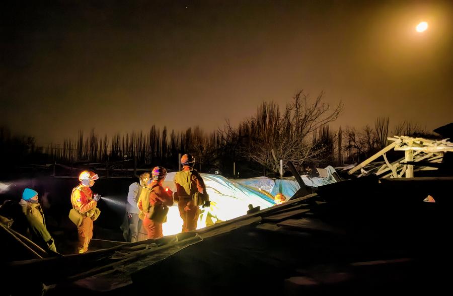
China used its Gaofen series satellites in relief efforts after a 7.1 magnitude earthquake occurred in northwest China’s Xinjiang Uygur Autonomous Region, the country’s National Space Administration (CNSA) said on Tuesday.
Satellites, including the Gaofen-4 and Gaofen-1 families, were employed to capture images of the earthquake-hit areas. Remote sensing images of areas hit by the quake will be shared instantly with emergency departments to analyze damage, according to the agency.
CNSA will continue to deploy civilian satellites to support disaster prevention and relief efforts, as well as provide space-based information support for disaster monitoring and decision-making. Three people died and five others were injured in the earthquake that hit Wushi district in Xinjiang’s Aksu prefecture at 2:09 a.m. on Tuesday Beijing time.
Source: http://www.chinahoje.net/satelites-sao-utilizados-para-socorro-apos-terremoto-em-xinjiang/